
The Project
For every hectare affected by construction, 10 hectares will be restored
•
For every hectare affected by construction, 10 hectares will be restored •
The Location
Scout Moor II is located on Scout Moor and Rooley Moor, an upland area between Bacup, Rochdale and Rawtenstall, straddling parts of Lancashire and Greater Manchester.
The site was chosen due to its strong and consistent wind speeds, existing access routes, and proximity to a suitable grid connection point.
Much of the area comprises open moorland and large parts of the site are designated as common land, with open access and a network of public rights of way, all of which will remain open during the construction and operation of the project.
Click on the orange hotspots below to see the viewpoints in more detail.

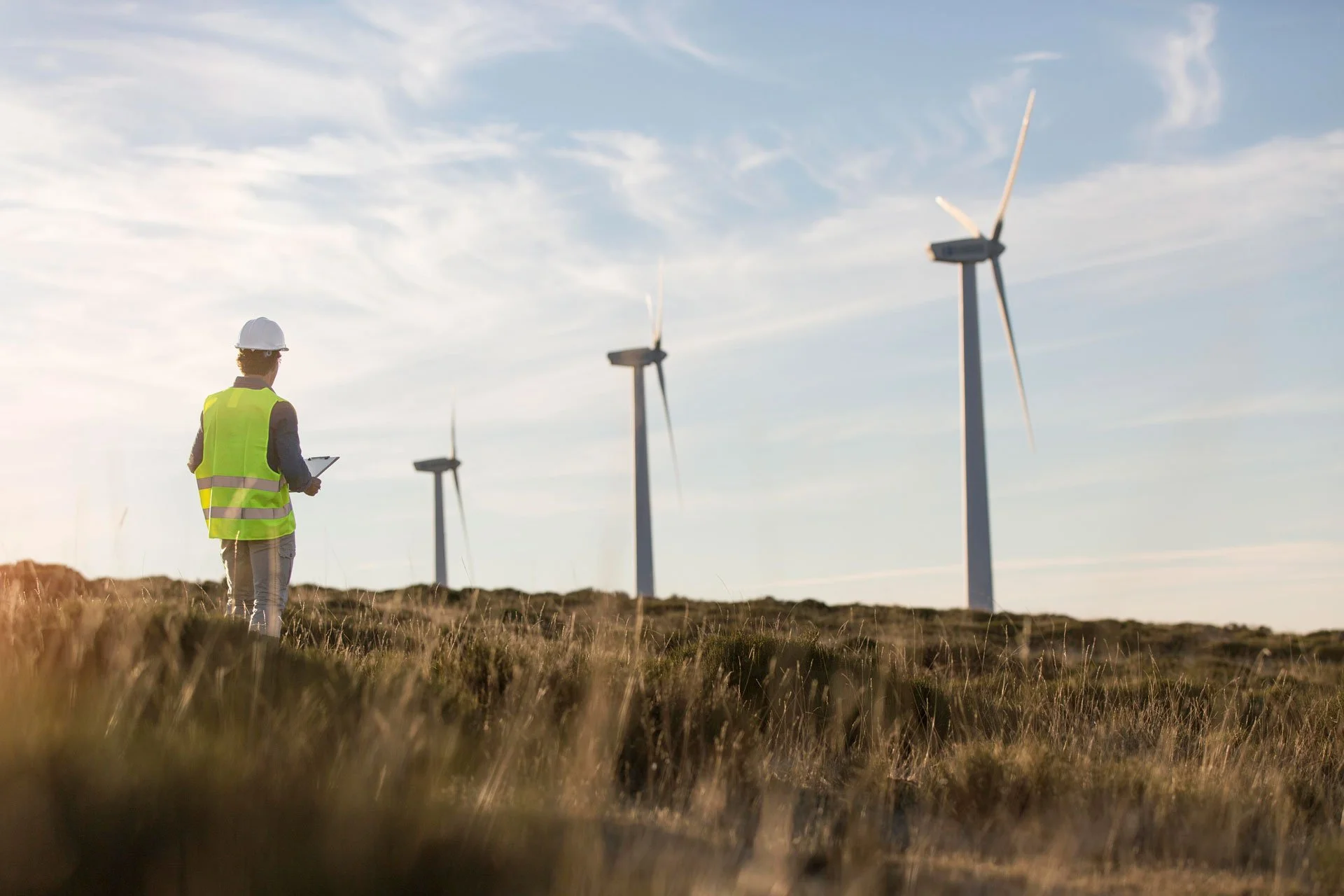
The Wind Farm at a Glance

17 turbines generating enough clean energy to power thousands of homes

Turbines up to 180m tall

A new substation

Cables will run underground to reduce visual impact

Power will feed into the local grid at Rawtenstall

Access will be from Scout Road (A680), using the existing quarry entrance

Site access will not be from Rooley Moor Road
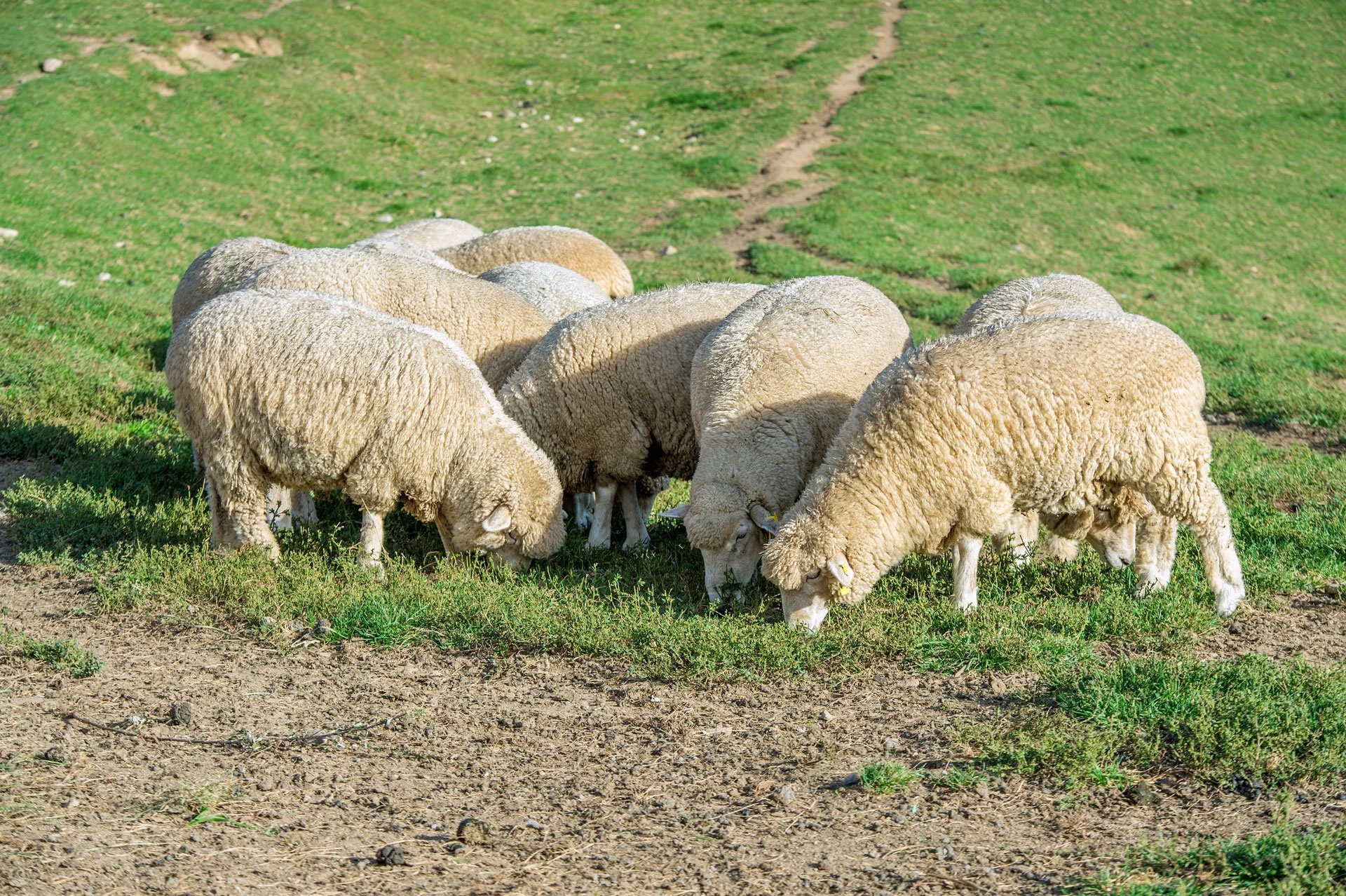
Moorland Restoration at a Glance

346 hectares
of damaged moorland will be restored

Supports carbon capture, wildlife, cleaner water, and flood resilience

Guided by a detailed Moorland Restoration and Management Plan

118 hectares fenced for active restoration, including re-wetting and replanting

228 hectares of common land improved through cutting and grazing plans

Restoration uses proven UK techniques and follows national guidance

For every hectare affected by construction, 10 hectares will be restored
Read our FAQs to find out more about Scout Moor II
How the Proposals Have Evolved
We have listened closely to the community and key stakeholders through two rounds of consultation (November 2024 and March 2025), along with meetings with councillors, landowners, local groups, and statutory bodies.
As a result, we have made significant changes:
Reduced the number of turbines from 21 to 17 to address visual and environmental concerns
Adjusted the layout to avoid the deepest areas of peat, increase distance from homes, and protect public rights of way
Removed a turbine near Whitworth in direct response to local feedback
Committed to a £6,000 per MW annual Community Wealth Fund, inflation-linked, independently managed, with a share of revenue if 3% exceeds this amount
Confirmed that Rooley Moor Road will not be used for construction or operational access, with one protected crossing away from heritage sections
Delivered webinars and published clear technical summaries on issues such as noise, peat, shadow flicker, and access
A full planning application has now been submitted. We will continue to update residents and local groups and welcome ongoing conversations as the project moves forward.